

Remote Sensing
This is where our journey begins. Get to know our business and what we do, and how we're committed to quality and great service. Join us as we grow and succeed together. We're glad you're here to be a part of our story.
What are the best data sources for regolith-terrain mapping?
Producing useful regolith-terrain maps for the exploration industry relies primarily on the analysis and visualization of topographic and multi-spectral data.
The two most useful datasets for regional regolith-terrain mapping are well processed Landsat satellite images (Landsat TM3) and digital elevation models (SRTM).
Extracting maximum value from these datasets, and then applying more robust mapping methodologies, will improve our understanding of the intimate relationship between landform, material, and process. This is a prerequisite for understanding three-dimensional and temporal aspects of the regolith.
Orthophotograph, radiometric, multispectral (ASTER), hyperspectral (HyMap) and radar datasets are also potentially useful for mineral exploration, but coverage of remote areas, such as the Tanami Desert in Western Australia, tends to be patchy.
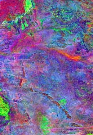
West Tanami, Decorrelation Stretch Bands754, temporal range 1994-2005 (sum of nine years); area 120x170km
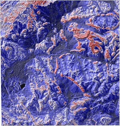
Tanami Region, north-west aspect shaded, multi-scale resampled 90-m SRTM data; area 315x330km
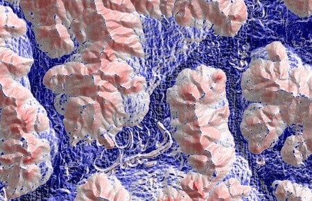
Wheatbelt WA, north-east aspect shaded, multi-scale resampled 20-m Orthophotograph DEM data; area 30x20km
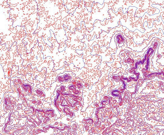
Central Queensland, 10-m contours on multi-scale resampled ASTER DEM (red) and SRTM (blue); area 35x30km